
Online Mapping
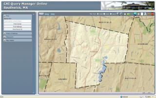
Welcome to Southwick's Online Mapping Portal
Disclaimer: This Geographic Information System (GIS) browser provides access to geographic and tax record information currently maintained by the Town of Southwick, Massachusetts for individual parcels of property. The maps and data are for illustration purposes and should not be used for making financial or other commitments. The data contained herein are a matter of public record. These maps are NOT designed or intended to be used as a substitute for an accurate field survey, as performed by a Registered Land Surveyor.
Certified abutters lists can only be obtained from the Town Assessor's Office in the Town Hall. Data presented here is approximate and is strictly for convenience purposes. The data is not to be used for property transfer and is subject to verification.
The Town of Southwick and Cartographic Associates, Inc. assume no responsibility for errors or omissions. In no event shall Town of Southwick or Cartographic Associates, Inc. become liable to users of these maps, or any other party, for any loss or direct, indirect, special, incidental, or consequential damages, including but not limited to time, money, or goodwill, arising from the use or modification of the maps.